Radar Telegram alerts Open Radar

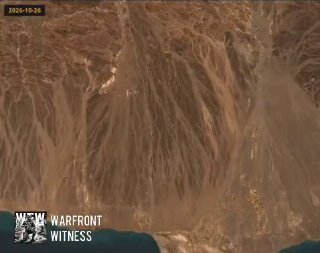
Satellite images south of Lahag seem to show the construction of a PLC defense line that stretches over almost 30 km.

תרגם לעברית

WarFront Witness · · Source

🇾🇪 Yemen · Map

Satellite images south of Lahag seem to show the construction of a PLC defense line that stretches over almost 30 km.

Satellite images south of Lahag seem to show the construction of a PLC defense line that stretches over almost 30 km.

The photos document its construction from October 26th to November 5th, which suggests the PLC knew a Houthi attack was imminent in the area.

And yet, even with these fortifications, the Houthis managed to advance in Laji province in Yemen on the night of November 10.

More on Radar

Want to see every report in real time?

Hundreds of sources worldwide, translated into your language, with alerts for what matters to you.

Sign up free
Share on WhatsApp Get alerts on Telegram