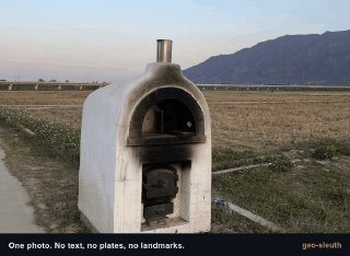
The skill of determining coordinates from an image.
Geo-Sleuth ( ) is a skill for artificial intelligence agents that determines the coordinates of the location where the image was taken. The skill not only gives coordinates, but also explains what its conclusions are based on.
To determine coordinates, Geo-Sleuth uses: OpenStreetMap geometry (shape of buildings, roads, objects), silhouettes/horizon lines by height (comparison between the relief in the image and an elevation model), satellite images and street panoramas.
Works with Cloud Code, Codex, Semman, Gemini CLI, OpenCode and GitHub Copilot.