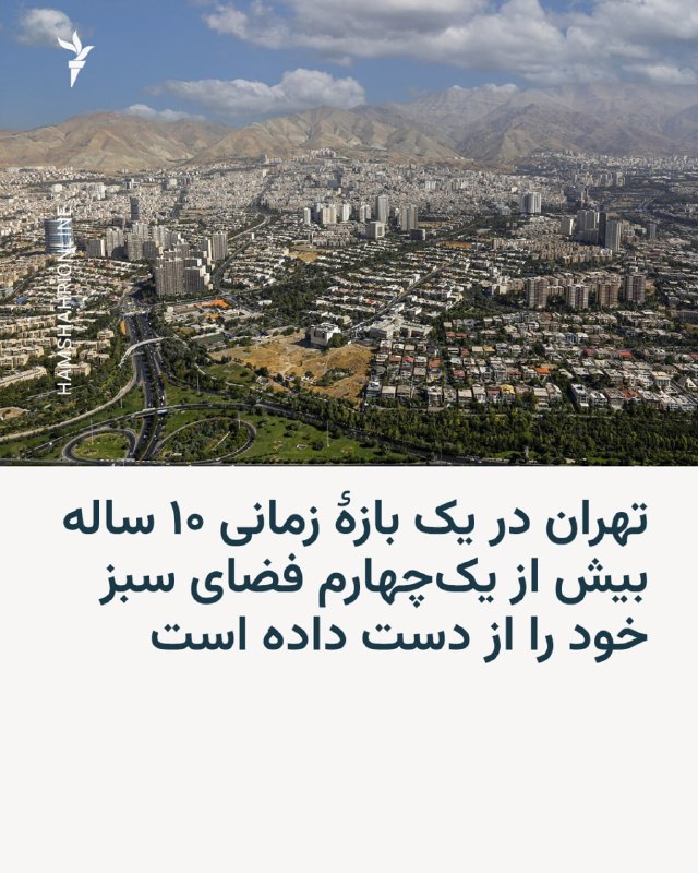
The results of a new survey show that the expansion of construction and the replacement of gardens with towers and urban buildings, in a period of only 10 years, caused the destruction of 27% of Tehran's urban spaces. According to this study, the city of Tehran recorded the highest amount of destruction of vegetation and green areas in the last half century. This study, by examining the vegetation of Tehran between the years 1355 and 1395, shows that the destruction of the vegetation of Tehran was a continuous process and areas 1, 2, 3 and 5 were the main centers of this destruction. The study "Destruction mapping of urban gardens in Tehran using Landsat images" was published in the specialized journal "Yearbook of the International Association for Remote Sensing and Spatial Information" in 2026.
The results of a new survey show that the expansion of construction and the replacement of gardens with towers and urban buildings, in a period of only 10 years, caused the destruction of 27% of Tehran's urban spaces. According to this study, the city of Tehran recorded the highest amount of destruction of vegetation and green areas in the last half century. This study, by examining the vegetation of Tehran between the years 1355 and 1395, shows that the destruction of the vegetation of Tehran was a continuous process and areas 1, 2, 3 and 5 were the main centers of this destruction. The study "Destruction mapping of urban gardens in Tehran using Landsat images" was published in the specialized journal "Yearbook of the International Association for Remote Sensing and Spatial Information" in 2026.
🇮🇷 Iran · טהרן · Map
More on Radar
Want to see every report in real time?
Hundreds of sources worldwide, translated into your language, with alerts for what matters to you.
Sign up free Already have an account? Log in