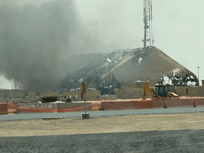
In a report, the Bellingcat website examined the role of open source intelligence (OSINT) in identifying US military infrastructure in the region. Public maps such as Google Maps and Yandex Maps provide significant information about the internal structure of military bases.
During the 2026 conflicts, Iran could have used online maps, photos posted by US military personnel, user comments and user construction information, in addition to Russian satellite information and images, to identify military installations.
By examining four bases. Camp Boehring and Camp Arifajan in Kuwait, Mofaq al-Salti in Jordan and Al Udeid in Qatar - information from public maps was consistent with satellite images after the attacks. Damage or destruction of the command headquarters building, gym and support center in Bowering, accommodation and fueling facilities in Arfijan, and buildings housing US forces in Mofaq al-Salti are noted.
According to experts, gathering public information can reveal activity patterns, troop locations and structure of military facilities, and be effective in identifying and selecting targets.