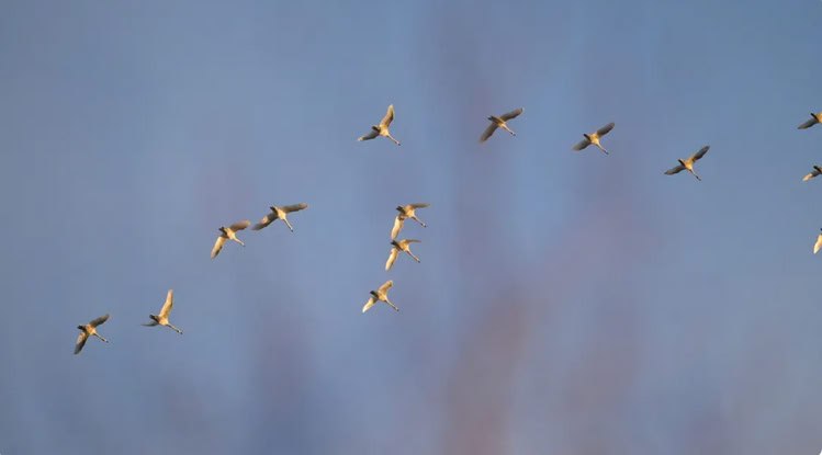
Residents of Yamal will be able to follow the path of migrating birds online. A special project "Time for Birds" was implemented in the area, thanks to which the residents of the north will be able to follow the routes of the birds without leaving their homes. Experts have created an interactive map that shows where and which route eight species of polar birds migrated for the winter, divided along three migration corridors: East Atlantic, Central Asia and East Asia. The model was created based on data from BirdLife International, the GBIF database of Arctic Council findings and plans. By moving the time slider, you can see how shoals cross the oceans in different months of the year. When you click on a glowing point on the map, a display card opens with illustrations and interesting facts. A complete list of all the birds in
Residents of Yamal will be able to follow the path of migrating birds online. A special project "Time for Birds" was implemented in the area, thanks to which the residents of the north will be able to follow the routes of the birds without leaving their homes. Experts have created an interactive map that shows where and which route eight species of polar birds migrated for the winter, divided along three migration corridors: East Atlantic, Central Asia and East Asia. The model was created based on data from BirdLife International, the GBIF database of Arctic Council findings and plans. By moving the time slider, you can see how shoals cross the oceans in different months of the year. When you click on a glowing point on the map, a display card opens with illustrations and interesting facts. A complete list of all the birds in
More on Radar
Want to see every report in real time?
Hundreds of sources worldwide, translated into your language, with alerts for what matters to you.
Sign up free Already have an account? Log in