A small clay tablet found in 1930 at the ancient site of Ghasur in Kirkuk province is considered by many researchers to be the best known topographical map, dating to about 2,300 BC, making it about 4,300 years old.
More on:
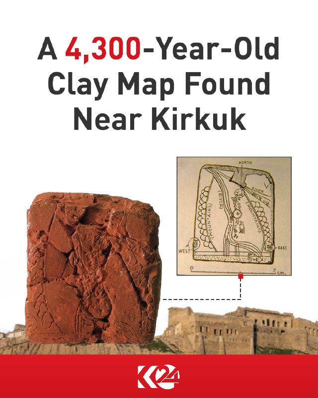
A small clay tablet found in 1930 at the ancient site of Ghasur in Kirkuk province is considered by many researchers to be the best known topographical map, dating to about 2,300 BC, making it about 4,300 years old.
More on:
Want to see every report in real time?
Hundreds of sources worldwide, translated into your language, with alerts for what matters to you.
Sign up free Already have an account? Log in