Complementing Khayyam satellite data with local technology; Increase the resolution of images by 10x.
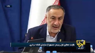
Sidai, head of the state's mapping organization:
🔹 The State Mapping Organization complements Al-Khyam's satellite data and fills its information gaps for application in various sectors through the special force of 430 experts.
"Super Resolution" technology was used to increase image resolution 10 times and quantitative and qualitative monitoring of large projects in Israel.