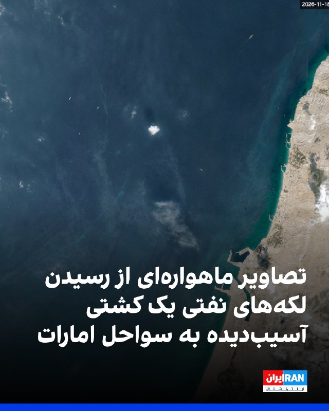
Satellite images show the spread of oil slicks in the waters near the United Arab Emirates and their arrival on the shores of this country.
Wim Zuinenburg, an environmental expert at PEX, told Reuters that satellite images on November 18 showed oil slicks from a ship fire reaching the coast of the United Arab Emirates.
According to this expert, the photos from November 13th show the "Dominica Prosperity" ship on fire, and the photos from the following days also indicate the spread of oil slicks towards the Khor Khor area.
Sarbananda Sonoval, India's shipping minister, previously announced that this ship was attacked on November 11 while sailing near Mina Saqr port in the United Arab Emirates.